But, as usual, I digress.
An unanticipated benefit of AIS is that it can be a passive way for friends and family to keep track of your location. Several companies have taken the strategy introduced (I think) by Wunderground for weather. They are seeding the world with shore mounted AIS receivers attached to the Internet as Wunderground did with weather receivers. Sail into the vicinity of one of these receivers and the boat's location is reported. Very nice.
The problems unfortunately are two. There are no receivers in the open ocean**. If you sail like I do you can disappear for days. And if you visit fun places like South Buru, Indonesia there are no AIS receivers either. Fortunately there is a way to overcome this limitation - at least with the provider Marine Traffic (http://marinetraffic.com) you can email position reports keeping your friends, enemies, and creditors up to date.
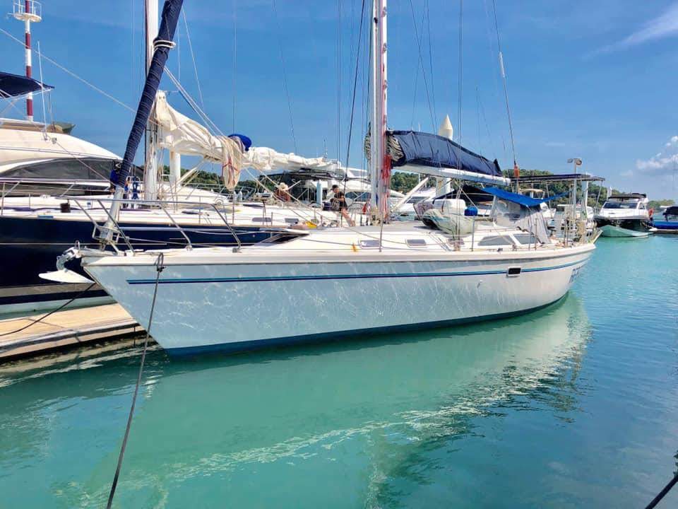
I am participating in the Wonderful Sail 2 Indonesia rally. There are about sixty boats. On a whim I upgraded in Marine Traffic so I could keep track of all sixty. (I think 5 are free.) The results were enlightening. Of all the boats in the rally only Reboot shows in South Buru. The other twenty I can see visually and on my multifunction display are somewhere else. Reboot is only here because I filed an email position report as there is no AIS receiver here. The rest are spread out from Horn/Thursday Island Australia to wherever they happened to pass a receiver (e.g. Some but not all the boats triggered the receiver in the Banda Island group.) So perhaps not so useful for keeping friends informed unless you fill in the reception blanks.*** But fun none the less.
Fair winds and following seas :)
* Due to power and antenna height differences.
** AIS reception by satellite works with limitations. To my knowledge no one provides AIS satellite tracking on the Internet for free. Also, I think some cruise ships echo the received data from their AIS to the Internet. Reboot's position has popped up from time to time when passed by a cruise ship in the Caribbean.
*** If you sail in highly populated areas like the United States you will get an almost continuous track.
Posted at anchor, South Buru Indonesia

No comments:
Post a Comment